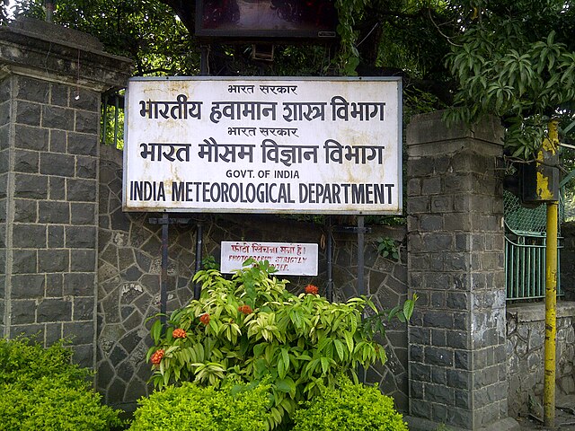
Hey folks, as we step into November 2025, the weather gods seem to be in a balanced mood. The India Meteorological Department has rolled out its latest predictions, and it looks like most of us will enjoy typical conditions with a few twists here and there. If you are planning trips or just curious about what the month holds, let me break it down for you in simple terms.
What the Rains Look Like This November
The southern part of the peninsula, covering places like Tamil Nadu, Puducherry, coastal Andhra Pradesh, Rayalaseema, Kerala, and the interior parts of Karnataka, should see rainfall right around the usual levels. We are talking about 77 to 123 percent of the long-term average, which works out to roughly 118.7 millimeters based on records from 1971 to 2020. That is good news for farmers and water bodies in these areas, as it keeps things steady without any extremes.
Across the rest of the country, expect normal or even a bit more than normal showers in many spots. However, keep an eye on northwest regions and parts of the south peninsula, where things might stay drier than usual. The national average for November rainfall sits at about 29.7 millimeters over the same historical period, and the overall outlook points to normal amounts countrywide.
These predictions come from a smart mix of old-school statistical methods and newer computer models that pull data from global climate systems, including our own Monsoon Mission setup. It is like having a team of experts crunching numbers to give us the best guess possible.
Why South Peninsula Matters in November
You might wonder why so much focus on the south during this time. Well, October to December is when this region gets a big chunk of its annual rain. The forecasts help everyone from agriculturists to city planners prepare better. Since 2021, the department has been using this combined approach to make monthly calls more reliable, building on what they do for the monsoon season.
Temperature Trends to Watch Out For
Moving to temperatures, the days are likely to feel normal or slightly cooler in a large part of India. Maximum temperatures should hover at or below average almost everywhere, except in the northeast, some northwest pockets, southern peninsula edges, and the Himalayan foothills, where it could get warmer than usual.
Nights tell a different story. Minimum temperatures are expected to stay above normal in most places, giving us milder evenings. The only exception is certain northwest areas, where it might dip to normal or even below. This mix means comfortable weather for many, but those in warmer spots should keep the fans ready.
The department uses probability maps to show these patterns, highlighting where the chances are highest for each category. Areas that naturally get very little rain in November are marked separately, and some land spots do not have strong signals yet.
How Global Oceans Play a Role
Right now, La Niña is active in the equatorial Pacific, which often means certain weather shifts for us. Models suggest it will stick around through November and December. At the same time, the Indian Ocean shows a negative dipole phase, but that is expected to ease up soon. These ocean conditions team up with local factors to shape our climate, and the forecasts factor them in.
It is fascinating how far-off seas can influence your local forecast. La Niña typically cools things down in some ways while boosting rains in others, and that seems to align with what we are seeing this month.
Extra Tools for Staying Updated
Beyond the monthly view, you can check weekly extended-range predictions for the next four weeks, covering rain and temps. These update every Thursday on the official site. Daily short and medium-range alerts are also there to keep you in the loop for any sudden changes.
If you are into details, the probability charts for rain categories and temperatures give a visual sense of likelihoods. Each category has an equal historical chance, but the models tip the scales based on current data.
All this helps in planning daily life, whether it is deciding on outdoor events or prepping for agriculture. Normal conditions dominate, but the variations in specific regions are worth noting.
Wrapping Up the November Picture
In short, November 2025 appears set for balanced weather. South peninsula gets its fair share of rain, most areas see normal or extra precipitation, days stay mild except in select warmer zones, and nights remain cozy for the majority. With La Niña holding steady and the Indian Ocean dipole fading, the setup supports these trends.
Stay prepared, keep an umbrella handy in the south, and enjoy the milder temperatures elsewhere. Weather can always surprise, so checking regular updates is a smart move. That is the latest scoop straight from the experts, explained like we are chatting over coffee.